Completion Date: 16.01.13
ROUTE
In the days running up to our excursion to the Lakes, Katie and I were monitoring the Met Office's mountain forecast with interest. I was hoping that the winter wasn't going to hit the fells with too much ferocity as I was secretly wanting to do Blencathra via Sharp Edge as a little birthday treat to myself. However, 24 hours before our departure and the conditions changed dramatically (-4°C [-12°C with wind chill], snow line at 350m). The Met Office were saying not to attempt the more technical summits (especially the 'Edges') without crampons, ice axes, and experience. This therefore altered our plans somewhat as we had none of them.
I had contingency walks ready just in case we weren't able to do the higher summits. The 1st walk, Catbells, is a short walk on one of the smaller fells. I chose to do this as a tester. If the conditions were too bad, if the new bits of kit weren't up to task or we weren't enjoying ourselves, then we could swiftly move ourselves into a pub for the afternoon with a stodgy lunch, warm fire & plenty of ale.
Our early morning drive saw us arriving at the carpark at the foot of Catbells (near Hawse End) around 8am. A quick sorting of kit and allowing Willow to acquaint herself with a couple of meandering sheep and we were on the well laid out and signposted path towards the fell top.
This was a very straight forward walk considering the conditions of other fell tops. The path was easy to follow and well maintained, and apart from a two sections of the ascent, where a steadying hand was needed to get past the icy rocks, you can see why Wainwright referred to this as "a family fell where grandmothers and infants can climb the heights together". Although I'd imagine that the likelihood of bumping into such a family outing on a snowy January mid-week morning is highly unlikely.
 |
| View across Derwent Water on the ascent to the fell top |
 |
| Plaque to Thomas Arthur Leonard part way up the ascent |
 |
| The first view of the fell top |
 |
| Katie and Willow. On the horizon is Skiddaw (left) and Blencathra (right) |
 |
| Fell top double thumbs-up |
 |
| Willow content with achieving her 1st ever fell |
A small point of note for anyone doing this walk: Part way down the path a short-cut negating the bottom part of the loop (shown in both Wainwright's guide and the OS map) has been closed to public access due to erosion. But this adds a minimal distance to the overall walk.
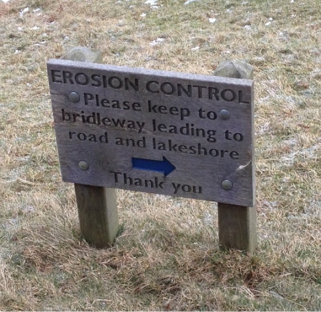 |
| Sign advising of erosion and new route |
All in all it was a good start to the day. A nice easy fell which is accessible to people (and dogs) of all ages and abilities.
No comments:
Post a Comment