Gowbarrow Fell - 481m (1,578')
Completion Date: 12.04.12
ROUTE
This fell shows more about what we are trying to achieve more than any of the previous fells. It would have been easy for us to attempt the short ascent from Dockray, but as AW says,
"[it] is much less attractive." So instead we decided to follow AW's suggested route, taking in the panoramas of Ullswater.
The walk began with us with parking at the car park for Aira Force; a National Trust car park that unless you're a NT member you'll have to pay for the privilege to park there (£4.00 for up to 2 hrs, £5.50 between 2 & 4hrs, and £6.50 for over 4hrs). We tried to find free parking nearby but as we were on a bit of a deadline we settled for the car park.
The walk began with us leaving the car park and heading up towards Aira Force. We took the first bridge to our right across the beck and followed the fence enclosing the area up and round until we quickly found ourselves leaving the wooded beck and heading through the gate towards the foot of the hill. The picturesque waterfall would have to wait until we had conquered the fell.
With the southern slopes to our left and Ullswater to our right we began to ascend the well maintained pathway up towards Yew Crag. This route offered spectacular views of Ullswater and a clear view of one of Wainwright's favourite walks around the foot of Place Fell,
"It is the author's opinion that the lakeside path from Scalehow Beck near Sandwick, to Patterdale (in that direction) is the most beautiful and rewarding walk in Lakeland." - I can't wait to do that walk on a summer's evening this year, I just need to figure out a way of keeping the beer in the tent nicely chilled for our arrival back to Side Farm Campsite, but I digress....
 |
| Stunning views back across Ullswater |
We climbed the path to the walk's intermediary summit of Yew Crag. Walking around the crag offered a change of scenery as we turned away from Ullswater. The path is well walked (and maintained) and undulates around the eastern flank of the fell crossing small streams and crags. We passed a couple of groups who were obviously doing their D of E and looked truly fed up. I can only hope that our cheery "Hellos" and smiling nods did something to help spur them on along their walk?
The path eventually lead to a gate in the wall which was crossing our path and the remains of the old shooting lodge. This is where our path broke away from the path on the OS Map, but as we were finding out, if AW suggested a good route to walk, it will inevitably be walked and therefore easy for us to follow, which it was.
 |
| Remains of the shooting lodge indicating the turning point from the OS Path |
The path from the shooting lodge takes us once again to a different environment and scenery. The walk gradually ascended into the peaty, boggy ground that inhabits the top of the fell. Following the wall that encapsulates the northern edge of the fell we found evidence of the maintenance of the paths, with freshly dug drainage channels and slabs of local stone laid to help the fell's visitors avoid the deeper, muddier sections of the bog. A nice sympathetic piece of landscaping, if only there was a peat bog in our new garden...!
 |
| Our 1st glimpse of Gowbarrow Fell |
The peat landscape started to become punctuated with rocky outcrops as we approached our destination. A small climb up and around to the right of the rocky mound pictured above brought us to the summit of Gowbarrow Fell.
 |
| Look! It's no longer a cairn! |
 |
| Showing a bit of leg... |
The summit offered good views across to the Helvellyn range and as the weather was clearer than previous days we could pick out our proposed ridge route from St. Sunday to Fairfield, which looked pretty awe inspiring. A dramatic drop-off and climb!
On leaving the fell top we headed due south. The path initially follows to the left of the next set of rocks and is easy to pick out. There are many smaller intersecting tracks across the top of the fell, but once again, the major route is well walked and can be picked out from the rest. The route cuts back and forth, but on a clear day Place Fell can be seen in the distance with the protuberance of High Dodd being a good guide to head towards. In poor visibility care should be taken as this route does take you on a course straight over the edge of Yew Crag! But as we found out, the point where the path strikes right off the summit plateau and down the shoulder of the fell towards Aira Force, a cairn has been constructed to instruct lost walkers of this junction.
 |
| The cairn on above Yew Crag telling you to turn right! |
The descent was fairly rapid in contrast with the rest of the walk and a bit of a tester for the quads after 3 days walking. But the prize at the end was the very beautiful Aira Force. A series of waterfalls feeding into Ullswater. Aira force is a real tourist trap and a bit of a shock having spent the past few days sharing Lakeland with only a limited number of fellow walkers. But we bustled our way through the crowds to appreciate the falls and take a few photos.
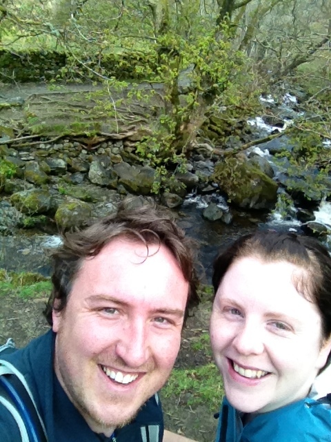
 |
| Katie marvelling at the wonders of a stream! |
 |
| Aira Force |
 |
| The main waterfall plummeting through the rocks |
 |
| Some old-school graffiti |
And there concluded our last walk of the trip. With the promise of a quick brewery tour of Hawkshead Brewery (one of Katie's friends conveniently works there, bonus! - *try the Pale & the Cumbrian 5 Hop, both really good) we clambered back into the car and made our way out of the Lake District a little wiser and definitely hungry to come back as soon as possible and explore more of what Lakeland has to offer!
 |
| Until next time! |
J.


No comments:
Post a Comment